Resolutions to amend south of town official community plans recognizing expanded areas of landslide and flooding hazards were defeated at Powell River Regional District’s board meeting on Thursday, November 24.
The resolutions were brought to the board after the regional district’s planning committee passed them on Tuesday, November 15.
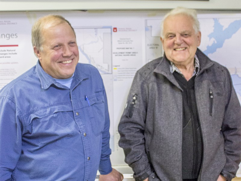
According to regional district manager of planning Laura Roddan, current community plans do not recognize the full extent of areas at a hazard for landslide or flooding.
Amendments would expand the electoral areas’ development permit areas. Residents who have property within those areas would first need to apply to the regional district for a permit if they wanted to build new construction, remove vegetation or alter drainage, among other items.
Electoral Area C director Colin Palmer and Electoral Area B alternate director Alan Rebane said they could not support the expansion of the development permit areas until BC Ministry of Transportation and Infrastructure came forward with its comprehensive drainage plan for the areas.
“We had an understanding that nothing was going to happen in our areas until we knew exactly what the ministry of transport was going to do and we still don’t know,” said Palmer. “When I hear what their plans are, I’ll be very happy to vote in favour of this, but in the meantime my area has an education program, brochures about it and the people are very aware.”
The regional district board contracted Vancouver consultants Tetra Tech EBA to perform a detailed study of natural landslide and flooding hazards south of town after several landslides occurred in December 2014 in locations not previous identified as hazard areas.
A widely held view from south of town residents is that logging management practises on the hillsides above Highway 101 and less-than-adequate upkeep on drainage ditches, combined with record rainfalls, caused the slides. Maintaining ditches and managing forestry practises do not fall under the regional district’s jurisdiction, said Palmer.
Since Tetra Tech completed and submitted its Landslide and Fluvial Hazards Study, a number of community meetings have been held throughout 2016. According to Roddan’s report, the majority of Area C residents at a community meeting held October 13 were supportive of the proposed amendments to expand natural-hazard development permit areas to include those areas identified in the 2015 study.
Electoral Area A director and board chair Patrick Brabazon said he was disappointed with the result of the vote.
“We hired a professional who has told us there are hazards in these lands,” said Brabazon. “We cannot simply ignore the report and the advice.”
He said that at the “bare minimum” the regional district’s responsibility is to educate residents in those areas, but even with that there is no guarantee everyone will know.
Brabazon added that it would be plausible for a new owner to not necessarily know his or her property was included in one of these hazard areas.
“To me,” he said, “that’s an unacceptable situation.”


