The economic losses from a significant flood are projected to range between $20-to-$30 billion.
That’s according to a new report by the Fraser Basin Council which has recently outlined a draft Lower Mainland Flood Management Strategy.
The report, discussed at Delta council this week, comes as the FBC, a non-profit charitable organization, works with federal, provincial, local, First Nation governments as well as the private sector to advance sustainability within the Fraser River basin.
One of the key long-term initiatives has been the development of a strategy to bring forward a common vision to reduce the flood risk across the Lower Mainland.
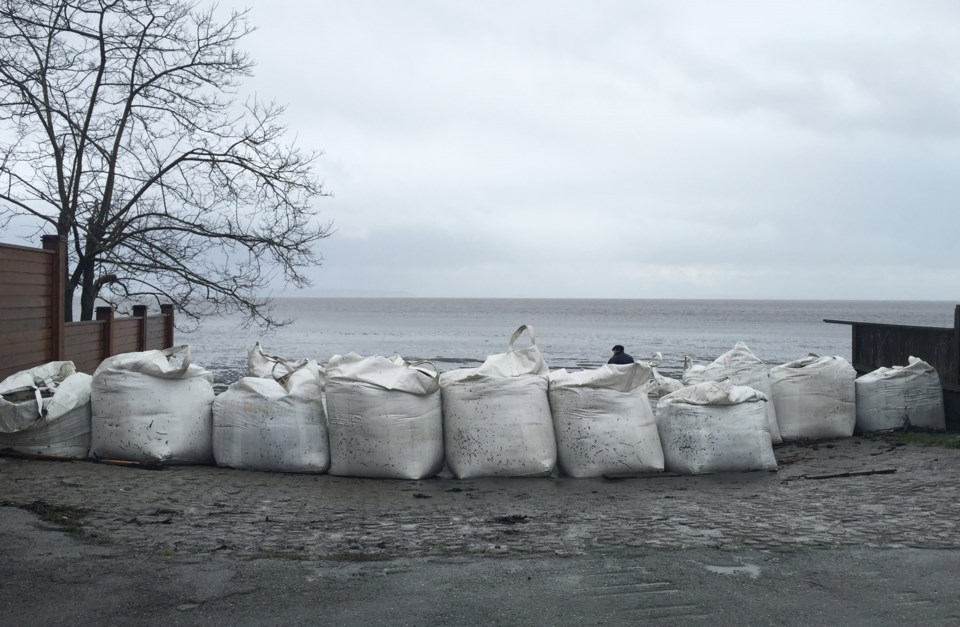
The region has been hit with several flood events, the biggest occurring in 1894 and 1948.
The strategy focuses on the potential for a Fraser River flood that would most likely occur during the spring freshet as well as coastal flooding as a result of storm surges and high ocean water levels.
The strategy also draws on a number of previous studies including a flood vulnerability analysis, review of Lower Mainland dikes and advanced flood modelling, which have highlighted the increasing risk posed by climate change and the economic fallout from a rapidly developing floodplain area.
The Lower Mainland will faces $20-to-$30 billion in projected losses if multiple dike systems are unable to holdback floodwaters, given extensive development in flood hazard areas, the document states, adding that future growth projections indicate the region will increase by over a million people by 2050, so the risk will increase.
“Land use decisions over the past century have placed considerable buildings, infrastructure, and populations in flood hazard areas. Impacts from a major flood could be wide-ranging and can extend beyond those areas, for example as a result of damage and disruption to critical infrastructure and essential services. Impacts from a smaller flood could still be devastating for a smaller community, including many First Nations communities. Although many Lower Mainland communities are situated behind flood protection infrastructure, all dikes pose a risk of failure during a major flood,” the report states.
The report goes on to note, “Over one-third of the farmland in the Lower Mainland lies in the Fraser River floodplain and may be vulnerable to flooding. Damage and disruption to agricultural lands would not only have a significant impact to the regional (and provincial) economy, it would have considerable implications for food security in the region.”
The Fraser Basin Council helped establish the Joint Program Committee for Integrated Flood Hazard Management which released a report that estimated it would cost approximately $9.5 billion to address flood hazards associated with one-metre of sea level rise in the coastal areas of Metro Vancouver.
The FBC recommendations include establishing a new regional flood entity/organization mandated by the province to oversee the implementation of the strategy, as well as the establishment of a long-term stable funding program to support implementation of the strategy.
After receiving the initial round of comments, the Fraser Basin Council is planning to produce a second draft of the strategy in May 2021.
That will be followed by public engagement this September and finalization of the strategy by November 2021.
The City of Delta recently submitted a $10 million grant application to the Investing in Canada Infrastructure Program's COVID-19 Resilience Infrastructure Stream's Adaptation, Resilience and Disaster Mitigation Program for a major dike upgrade project in East Ladner.
If successful, that project would see upgrades from the area around 72nd Street all the way to just past 112th Street.
Delta's Flood Management Strategy identifies a number of locations for possible dike upgrading over the next decade.
With climate change, sea level rise is a significant threat for the lowlands of Delta, especially along Boundary Bay, according to a City of Delta report, adding the existing coastal dikes do not adhere to the province's current seismic guidelines.


