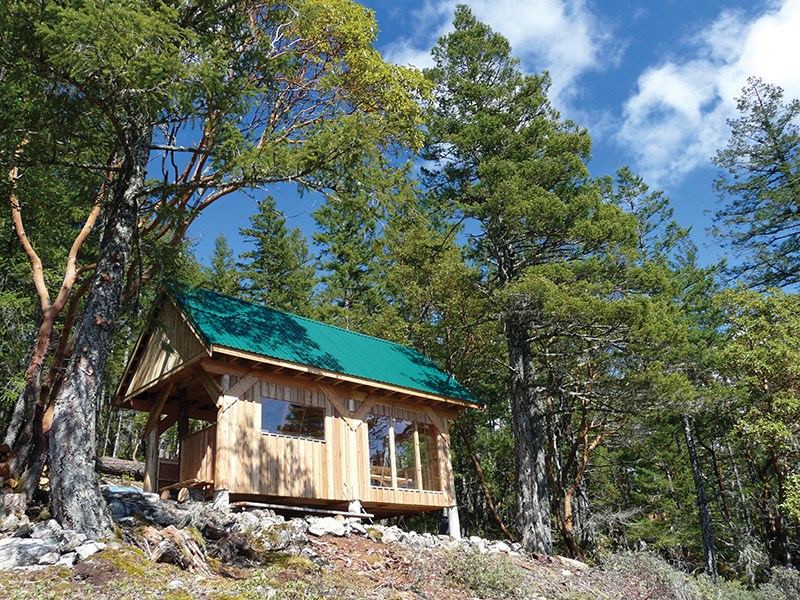
Sunshine Coast Trail will be part of 1,500 kilometres of BC backcountry trails mapped by Google Street View technology.
“Yes, at this point, we are looking at doing so,” said Janice Fraser, Destination BC managing editor. “What sections of the trail will be trekked, what sections will be loaded onto Google Maps and exactly what dates that will happen are not yet known.”
According to Google, the company’s Trekker is a wearable backpack mounted with 15 cameras that takes a picture every two to three seconds; similar to Google’s Street View technology. The cameras collect high-resolution imagery that is uploaded to Google Maps. Trekker was designed to enable views of places only accessible by foot.
“Our ultimate goal is to create the world’s most comprehensive, accurate and usable map,” said Nicole Bell, communications and public affairs for Google Canada. “BC is home to some of Canada’s most beautiful landscapes, including the Sunshine Coast Trail, and we are thrilled that we’ll be adding these images to our collection.”
Destination BC has borrowed two Trekkers that will be carried by staff. Each unit weighs about 40 pounds and stands four feet in height.
“We’ve only got the Trekker here for a limited amount of time this summer and far more trail than we can ever possibly do,” said Fraser. “We’ll focus our efforts on capturing those sections of trail, not just the Sunshine Coast Trail, that are the most spectacular.”


