In a community such as Lund, where so many people look out to the water for their living, weather forecasts are almost holy writ. It feels like betrayal when they are so so often wrong, like they have been this fall, and the weather service has become the punchline of a lot of jokes up here lately. Who makes these forecasts, I wondered, and do they even know anything about our area? I decided to ask.
Forecasts for our region come from Vancouver, where a team of 20 or so meteorologists work around the clock shifts to turn almost unfathomable amounts of data into the forecast we see.
"Meteorologists use the biggest computers in existence," said Environment Canada meteorologist Armel Castellan, "because you have so much data over such a huge area and you need to be able to model that forward faster than in real time."
Data comes from a huge array of different sources, at sea and on land. There is information as specific as verbal reports from pilots and as large-scale as observations made by satellites. “A really crucial piece is the balloon network," said Castellan, “because balloons go up all around the world at the exact same time every day. Satellites are of limited use in the in-between layers of the atmosphere, so nothing replaces a balloon."
That data is combined by supercomputers into models that show a true picture of the atmosphere. The biggest models cover all of Canada and some of the United States. But what about places like Lund, where we have complex topography and seasonal patterns?
"We split up the geography, with someone looking at high-impact weather for the larger region and somebody else looking at the more high-resolution information for the local area,” said Castellan.
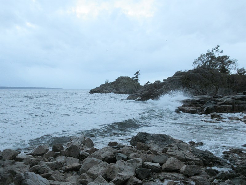
Experience counts for a lot, he added, citing the example of the Qualicum wind that blows through from the Alberni Inlet and can pound the Sabine Channel, Lasqueti Island and the west side of Texada Island.
"Only a person's experience can tell them how to look for the temperature variations between locations on the path of the known winds,” said Castellan. “It depends on knowing the lay of the land."
Castellan said it is unlikely we will ever see a day when forecasting is completely automated, because it takes personal experience and local knowledge to interpret all that data.
"Take someone from an arid climate, drop them in Vancouver and ask them to forecast a series of deep storm systems,” he said. “There's no way they'll be able to do that better than someone who's been doing it for 20 years."
So what does Castellan's experience tell us about the next few weeks?
"In the last month we've seen a huge trough on the western side of North America,” he said. “Instead of shielding the coast from the pacific systems, it basically leaves the door open for them.”
Big, weak and slow-moving systems like this one are more unpredictable than powerful storms, so Castellan predicts a lot of hard-to-pin-down, but generally wet and rainy weather coming our way.
Good thing we're used to it.


