Editor:
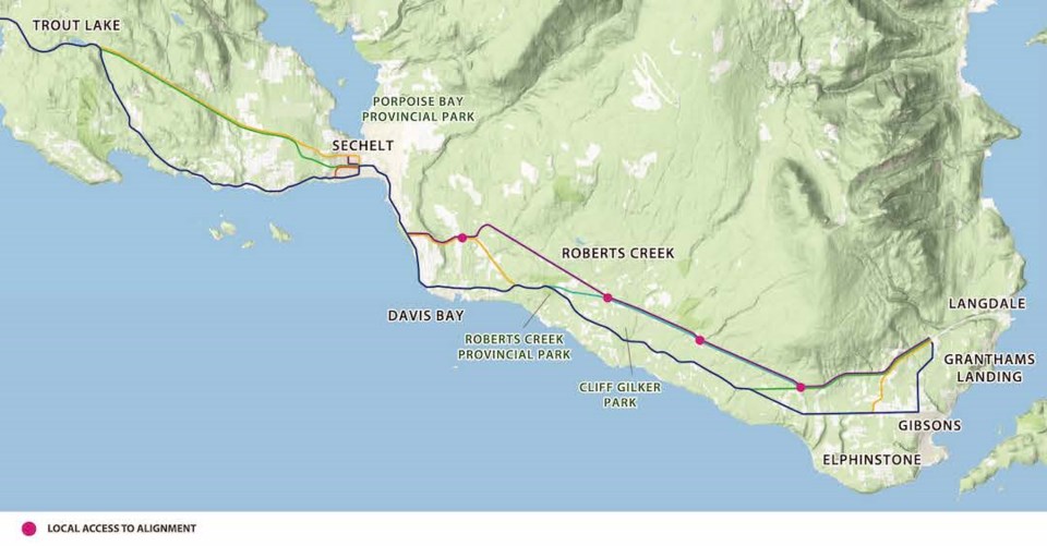
I recently completed the MOTI survey on the future of highway 101 on the lower Sunshine Coast. I was shocked to learn that no improvements are contemplated for the stretch between Havies Road and downtown Sechelt. (Full disclosure; I live on that stretch.)
That 2.3-kilometre stretch of highway 101 between Havies and the first entrance to Tsain Ko Centre has 39 access point on the water side and 54 access points on the uphill side. Not counting bus stops. So 93+ places where cars, bikes, people walking, etc., in a 2.3 kilometre stretch of “highway” that also includes a couple of blind curves, and mostly has no safe shoulder area for pulling off in the case of emergency. And worse, no safe place for active transportation in that stretch.
I worked much of my career alongside civil engineers and have the greatest respect for their expertise. It’s hard to fathom how the Engineers in the Ministry of Transportation and Infrastructure came to think that ‘improving’ other stretches of highway 101, thus encouraging more vehicle use, and then dumping much of that traffic onto an already unsafe 2.3-kilometre stretch makes any sense at all.
The implications are so egregious that I have a hard time believing that any licensed Civil Engineer signed off on that study.
The survey is open until August 31st. I encourage anyone who travels that stretch – or any portion of the highway – to complete the survey.
Vickie Morris,
Selma Park


