qathet Regional District (qRD), along with Tla’amin Nation and City of Powell River, will host virtual public meetings to share the qathet Regional District coastal flood mapping project report findings. Details on the public engagement are still be worked out.
According to a media release, the report follows grant-funded fieldwork conducting coastal geological assessments, shoreline bathymetry, LiDAR mapping, and storm wave assessments along the mainland coastline, from Saltery Bay to Okeover Inlet.
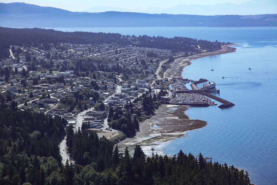
The coastal flood mapping project identifies future potential hazards that may develop due to anticipated impacts of climate change along the coastlines, the report stated.
“The Province of BC has recommended coastal communities plan for one metre of sea level rise by the year 2100,” stated manager of emergency services Ryan Thoms. “In line with this recommendation, the coastal mapping project report indicates areas of potential flooding and erosion concerns toward the end of this century and is not intended to highlight areas of immediate concern.”
The report’s long range forecasting will allow the region to have considerable time to develop flood mitigation and adaptation objectives, policies and protocols, the release stated.
The qRD, city, and Tla’amin have applied for grant funding from the Union of BC Municipalities’ community emergency preparedness fund to complete a regional coastal flood adaptation strategy, the release stated. The project will take a participatory, community-driven planning approach to engage residents and stakeholders in learning about potential flood inundation areas identified by the coastal flood mapping work.
“If we are successful in attaining grant funding, a regional coastal flood adaptation strategy will help the qathet region prepare for a changing climate and increase the resilience of our coastal communities,” stated manager of planning services Laura Roddan.
For more information on the coastal flood mapping project and how to get involved, go to qathet.ca.


