Residents and local governments of coastal communities should prepare for a one-metre rise in sea levels by the end of this century.
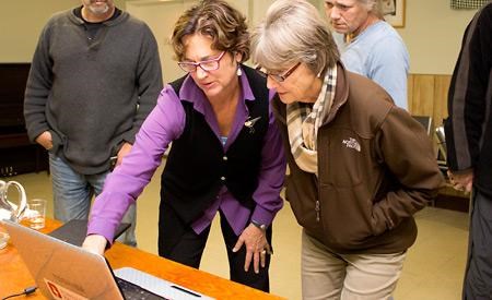
That was the message heard by about 55 people who attended a presentation about the impacts of sea level rise organized by Powell River Regional District on October 10.
Thomas White, manager of science and adaptation in the climate action secretariat in BC’s ministry of environment, and DG Blair, executive director of the Stewardship Centre for British Columbia (SCBC), talked about how global warming affects sea levels and how to protect property from the damage that occurs during peak storms, especially when they coincide with high tides.
“Sea level rise will continue for the foreseeable future and the rate will likely accelerate,” said White. “Sea level rise in all scenarios will continue to go up and the other scientific finding is that it will go up at a rate that is faster than what we’ve seen in the last 100 years.”
In the near to medium term, this will likely result in an increase in the incidence of coastal flooding associated with storms, White said.
Every community is unique, he added, and local solutions to address the long-term problems will work best. “What we’ve tried to do in the province is describe what some of these options are and provide a tool set for local communities to use to plan for sea level rise,” he said. “But the best solutions and decisions need to be made at the local level in order to get maximum success.”
The Intergovernmental Panel on Climate Change released a report in September that confirmed sea levels have risen 20 centimetres since 1901, which is faster than at any time in the last 2,000 years, White said. “They also had a finding that future rates, what we can expect over the next 100 years, is going to be faster.”
There’s a dynamic in the climate system that is going to continue, White said. “While it’s vital to reduce emissions of greenhouse gases to control long-term effects, there are enough greenhouse gases in the atmosphere right now to drive change for another 50 years at least.”
Improved coastal mapping will facilitate planning for sea level rise, White said, and improved forecasting of abnormal sea surface heights and extreme precipitation can improve measures to protect against damage.
White also talked about a program called the King Tides Photo Initiative, which invites BC residents to take pictures during high tides and storm events. “It’s an opportunity for anybody with a photographic bent to document areas in the community that are at risk,” he said.
Blair talked about the Green Shores Program, created by the SCBC. It promotes the sustainable use of coastal ecosystems through planning and design that recognize the ecological features and functions of coastal systems.
“Fundamentally, people love to live in places where land and water meet,” Blair said, adding that shoreline areas are “incredibly biologically rich places.”
Unfortunately, sometimes people can make life more challenging for some of the other creatures and processes. “We change things,” Blair said. Poor siting of homes, eliminating vegetation and constructing sea walls are all ways people impact the shoreline area, she explained.
Sea walls are examples of shoreline hardening, Blair said, which sometimes causes more damage than expected. For example, a straight vertical wall will increase wave height five to 10 times, while a rip-rap wall with a steep slope increases wave height two to three times. Waves going over a wall will cause erosion behind it, she pointed out. “When we put structures into the water, it influences the coastal processes, the physical processes of the water and the rocks. They actually change the movement.”
The Green Shores Program promotes using soft armouring, or vegetation and earth, to protect against damage.
More information about the Green Shores Program and the King Tides Photo Initiative at www.livesmartbc.ca/connect/kingtidephotos can be found online. The regional district has prepared a brochure that gives residents more information as well, which is available online.


