Powell River is home to some extensive green space corridors and some excellent walks exist right in the middle of town. A group of organizations have worked together to encourage residents to put on their walking shoes and explore by foot.
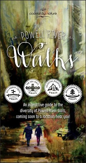
Powell River Division of Family Practice, Tourism Powell River, Powell River Cycling Association and Powell River Employment Program (PREP) Society’s Powell River Diversity Initiative have worked together to create a brochure which promotes walkability within the city through funding from Vancouver Coastal Health SMART organization and City of Powell River. Four very popular and accessible short walks have been highlighted: Valentine Mountain, Willingdon Beach Trail, the Sea Walk and Willingdon Creek Trail. Although these trails are used widely by the community there are some residents, particularly the new-to-Powell River residents and visitors, who are not aware of the trails or how to access them. “Once you are out on some of these trails, the whole trail network opens up making connections all over Powell River,” said Lyn Adamson, executive director of PREP who administered the project.
One of the ideas highlighted in the brochure is using active transport—any form of human powered activity—as a way of getting to a particular destination. For example, the Willingdon Creek Trail leads to Unaymit Trail, Kingfisher Trail and on to Cut Connector Trail which leads to Brooks Secondary School. Another example is the Willingdon Beach Trail which carries on north past the haul road and through the old golf course to Townsite.
The brochure acts as a general interactive guide with information on flora and fauna added by ethnobotanist Wendy Cocksedge as well as a few “hidden gems” that one might discover along the trails. Distance, accessibility and activity ratings are available along with maps showing the four walking trails and recently proposed cycling routes. Another layer of information has been added through a Groundswell public art project funded by the Taos Institute which connects audio interpretations to these places. There are visual markers along the trails indicating where audio walks can be listened to with a smartphone and headphones. The audio project will soon be activated.
Mobilizing residents to get outside and interact with the environment is the main goal of the project and in Powell River this can be a very enriching experience. The intent is for these four walks to be a starting point for Powell River Walks and if funding is secured there would be another series of walks highlighted in a future walkability project.
The brochure containing maps highlighting the walks is free of charge and can be picked up at the Tourism Powell River office.


